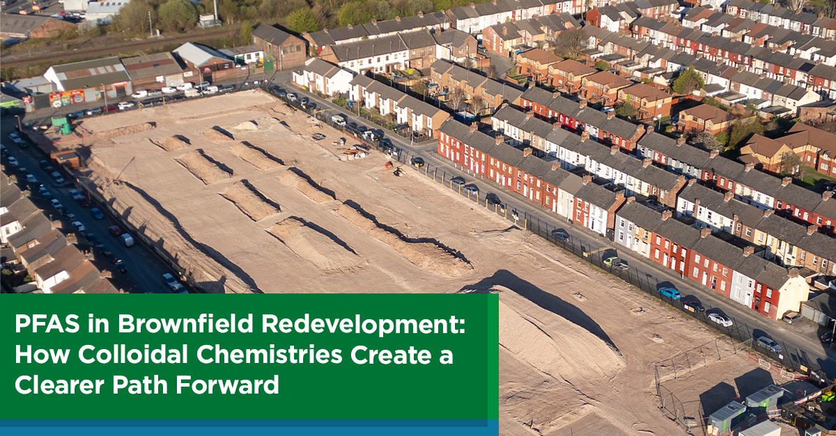
The Basics of High Resolution Site Characterization
By: Jason FlatteryOne of the most significant trends in the environmental industry over the past decade is the increased adoption of high-resolution site characterization (HRSC) methods on a wider array of contaminated sites. However, not everyone is familiar with how HRSC works or when it should be used.
In this blog post, I’ll cover the basics. For a deeper dive, check out our on-demand webinar, HRSC 101: The Basics of High Resolution Site Characterization.
What is HRSC?
HRSC is a set of advanced techniques and strategies that enable faster and more accurate development of a conceptual site model (CSM). This means understanding the types and levels of contamination, their locations (both vertical and horizontal), and the context (e.g., presence of free product, plume migration, differences between soil and groundwater concentrations).
Designing an HRSC program involves selecting the right tools and sampling intervals to collect precise data in key locations. This approach reduces uncertainty, saves time and money, and fits within physical and financial constraints.
Why HRSC?
HRSC's prevalence in site investigation and remediation is due to updated guidance and new regulations from regulatory agencies, as well as savvy consultants and liability holders leveraging these technological improvements to maximize their site management investments.
When Does an HRSC Approach Make Sense?
Implementing HRSC early in the comprehensive investigation phase yields the largest returns on investment by accurately identifying problems before more budget is spent. HRSC is also beneficial during the pre-design phase of remedial actions, as a better understanding of impacts and concentrations improves design and increases the chances of successful remediation.
Common HRSC Tools and Techniques
HRSC programs use various tools, each specific to certain contaminant mixes and data types:
The implementation of HRSC is just as important as tool selection. Reviewing existing data, designing the investigation program, compiling and analyzing data, and updating the CSM are crucial steps in optimizing results.
HRSC tools can collect data rapidly and continuously over the vertical length of a boring, often arranged in transects or grids. This setup provides corroborating trends and multiple lines of evidence, greatly enhancing the CSM.
The large data sets generated by HRSC allow for the construction of three-dimensional models, aiding in interpretation and analysis. These visuals effectively communicate complex data to stakeholders, regardless of their expertise.
There is an HRSC approach for nearly any environmental or geotechnical project, providing a clearer picture of impacts and saving money and trouble for years to come.
To learn more about HRSC or brush up on the basics, check out "HRSC 101: An Introduction to High-Resolution Site Characterization."
ABOUT THE AUTHOR

Jason Flattery, PE
Director, Site Characterization
[email protected]
Casey Moore is an HRSC service line leader and Operations Manager at Cascade with 12+ years of experience in the industry. He has managed a wide variety of complex projects utilizing HRSC tools in Cascade’s toolbelt including WaterlooAPS, MIP, OIP, UVOST, HPT & CPT. Casey assists clients and consultants to select the best method for specific contaminant delineation, from which data deliverables are invaluable to efficiently and cost effectively design and optimizing remediation plans.
Join our newsletter

A bimonthly email with the latest expert insights in drilling and remediation